
A Morning in the Wild… and a Drone That Never Took Off
The forest was just waking up.
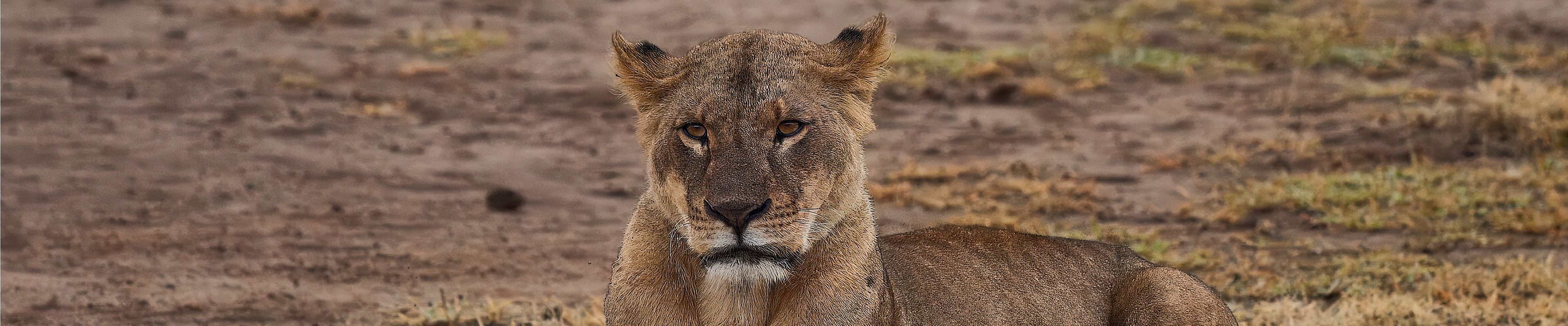
Mist curled above the grasslands, and somewhere in the distance, a herd of elephants moved like shadows through the trees. A wildlife photographer—camera ready, drone packed—stood at the edge of a buffer zone, imagining the perfect aerial shot.
A sweeping frame. Golden light. Untouched wilderness.
But that drone never took off.
Not because of technical failure. Not because of the weather.
Because in India, flying a drone in wildlife areas isn’t just difficult—it’s often illegal.
And that moment—standing still instead of flying—captures the reality of drone photography in India’s wild spaces.

Why Drone Wildlife Photography Is So Powerful


Drone photography has revolutionized how we see wildlife.
From above, landscapes transform:
Forests become living textures
Rivers turn into silver veins
Animal movements reveal hidden patterns
For conservationists, drones offer:
Habitat monitoring
Anti-poaching surveillance
Population tracking
For storytellers, they unlock emotion—scale, isolation, fragility.
But here’s the truth most beginners miss:
👉 What drones can capture is not always what the law allows.
Quick Answer: Are Drones Allowed in Wildlife Areas in India?
No, drones are generally NOT allowed in:
National Parks
Wildlife Sanctuaries
Tiger Reserves
Exceptions:
Only with special government and forest department permissions, usually for research or filmmaking.
👉 Even if your drone is registered, flying in protected wildlife areas without permission is illegal.
The Legal Backbone: Drone Rules in India
India regulates drones under the Drone Rules, 2021, governed by the Directorate General of Civil Aviation (DGCA).
These rules apply whether you are:
A hobbyist
A travel creator
A wildlife filmmaker
A researcher
Understanding Drone Categories (Why Your Drone Type Matters)
Important:
Even the smallest drone cannot be flown in protected wildlife areas without permission.
The Digital Sky System: Your Drone’s Gatekeeper
Before any legal flight, your drone must interact with India’s Digital Sky Platform.
Key Requirements:
UIN (Unique Identification Number) for drones above 250g
NPNT compliance (No Permission, No Takeoff)
Airspace approval before flying
Think of it as a digital lock:
👉 No clearance = No flight.
Airspace Zones Explained Simply
Green Zone → Allowed (limited height, no permission needed)
Yellow Zone → Permission required
Red Zone → Strictly prohibited
⚠️ Wildlife areas often fall into restricted or specially controlled zones, regardless of DGCA classification.
The Real Barrier: Wildlife Protection Laws

